Digital reality
Since 1998 we have been measuring, modeling and documenting the infrastructure on which mining expansions in Peru are designed and built. Surveying, bathymetry, aerial LiDAR, laser scanning and 3D modeling, carried out inside operating mines.
When a mine expands a plant, builds a new platform or extends a conveyor belt, everything starts with knowing, with certainty, the infrastructure already in place and the ground where it plans to grow. That is the information we deliver.
We know what's at stake on your project: schedules, costs and well-supported quantities. We work alongside contractors to correct issues in time, before they are built.
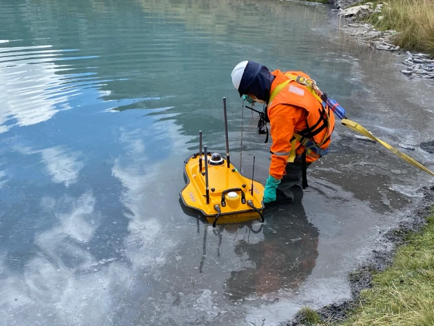
View service →Surveys with an uncrewed surface vessel (USV) to measure stored volume, remaining capacity and freeboard in tailings storage facilities, ponds and water bodies.
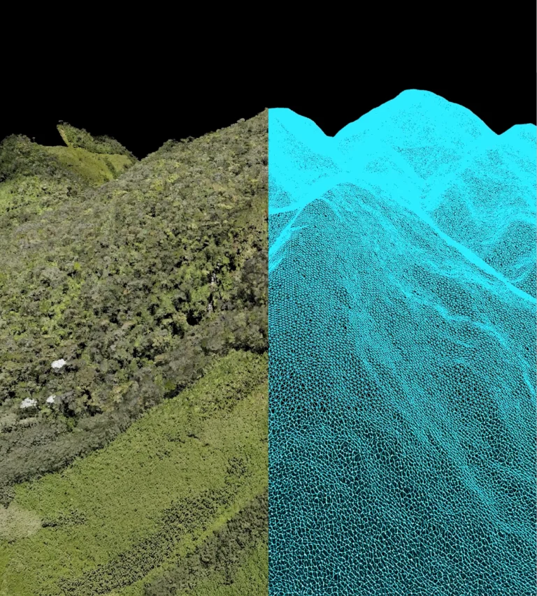
View service →Mapping of large areas, even under vegetation, to plan new roads, platforms and alignments.
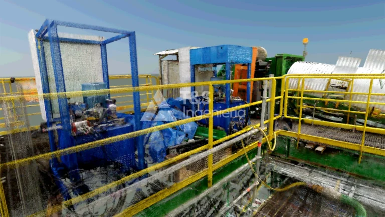
View service →Point clouds of plants, structures and tunnels, with the detail your engineering needs.
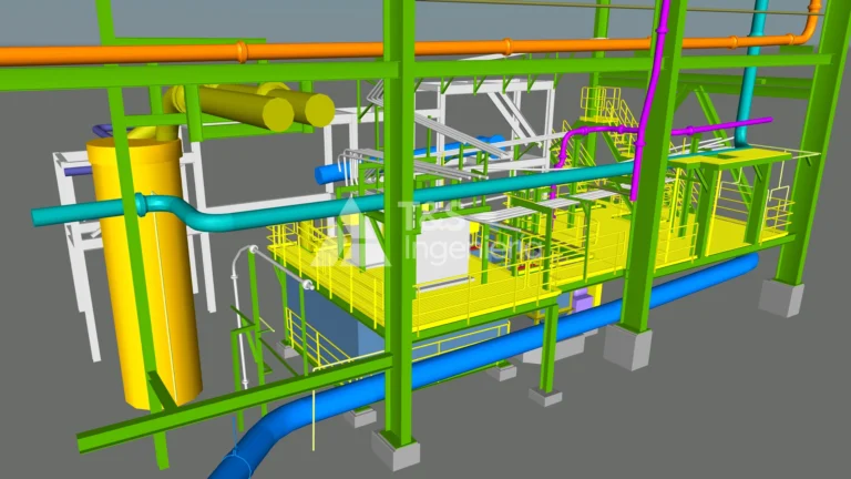
View service →We turn point clouds into as-built models and drawings that serve as the basis for detailed engineering and maintenance.
View service →We work for the mine areas that need to know their infrastructure precisely (Projects, Water and Tailings, Environment and Hydrology) and for the engineering and construction companies working around the operation: plant expansions, crushing, conveying and ports. For them, we measure inside a mine that never stops, with its permits, its contractors and its legacy coordinate systems.


We do not work on assumptions. Before each task we reassess the risks at the work point, and every deliverable goes through a GNSS base, check points and validation before it leaves our office. Our management systems are certified to ISO 9001:2015 (quality) and ISO 45001:2018 (occupational health and safety).

At an operation located above 4,000 m a.s.l., we carried out the cartographic and topographic inventory of two process plants, one old and one modern: 65 hectares of infrastructure. With more than two survey crews, 21 days in the field and 14 in the office, we handled access to the operation, coordination with on-site contractors and the requirements of working inside running plants. The engineering company in charge received the information within the planned schedule, as the basis for its new expansion projects.
Surveying and supervision, bathymetry, aerial LiDAR, laser scanning and 3D modeling for mining and infrastructure projects.
Our operating base is in Lima and we carry out projects throughout Peru. The group also includes T&S Argentina SRL, with its own operation in Argentina.
With a GNSS base, checkpoints measured on the ground and validation before delivery. We report the results of those controls in the quality control report.
Email comercial@grupots.com, call +51 967 421 477 or fill in the contact form.
A mining expansion is designed on what exists today. For 28 years, at T&S we have made sure that baseline is reliable: measured in the field, validated in the office and delivered on the committed date.