SOLUTIONS / LASER SCANNING
LASER SCANNING
DIGITAL TWINS
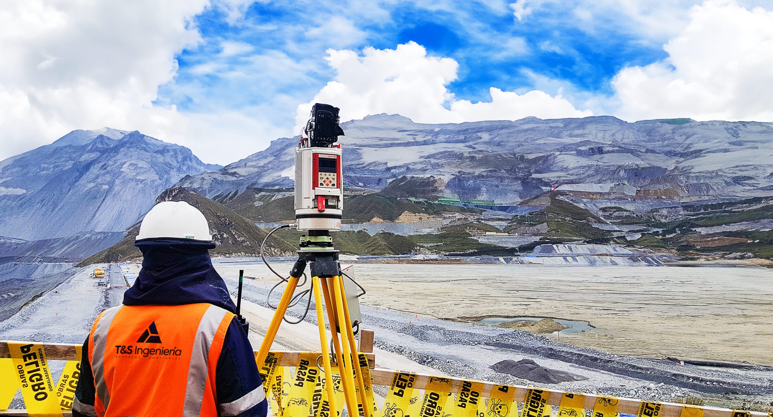
Digital Survey of Critical Assets with a Zero-Harm approach. We use remote measurement to generate Digital Twins that reduce uncertainty in your expansion projects and asset management.
ACCURACY UP TO
3 mm
High geometric fidelity
SPEED UP TO
1 million pts/sec
Rapid massive capture
EQUIPMENT
FARO Focus / SLAM
Terrestrial / Mobile Laser Scanner
DELIVERABLES
RCP / DWG & more
Point Cloud & 3D Models
HOW IT'S DONE
01.
PLANNING
Definition of Scan Positions and placement of reference targets for geodetic tying.
02.
LASER CAPTURE
High-density laser scanning and HDR image capture for true colorization of the point cloud.
03.
REGISTRATION & MODELING
Cloud registration, noise cleaning, and 3D modeling in specialized software (Revit/Civil3D).
VISUAL EVIDENCE
01 / 03

POINT CLOUD (RAW DATA)
3D MODELING (BIM/CAD)

INTERFERENCE ANALYSIS