Aerial LiDAR and photogrammetry
with drones for mining and infrastructure
Is your expansion project based on mapping that reflects what exists today? New roads, pads and conveyor belts are designed on the current terrain, and in a mine that terrain changes all the time. With aerial LiDAR and drone photogrammetry we survey large areas in a short time and deliver the topographic base your engineering team needs to design.
LiDAR or photogrammetry: we choose based on your terrain
Both techniques map large areas from the air, but they measure in different ways. Photogrammetry rebuilds the terrain from hundreds of overlapping aerial photographs and delivers an orthophoto that shows every structure, road and pad as it stands today. LiDAR measures the terrain with laser pulses and records the ground even beneath vegetation.
In open areas such as plants, waste dumps or access roads, photogrammetry usually handles the survey efficiently. Where there is plant cover or the natural ground is needed, we use LiDAR. When the project calls for it, we combine both.
The sensor measures; the method builds confidence
We fly DJI Matrice series drones, with Zenmuse series LiDAR sensors or with photogrammetry cameras. The quality of the information your project receives doesn't depend on the equipment alone: it depends on the GNSS base, the processing, the calibration and the checkpoints measured on the ground. That control is our job, backed by 28 years of surveying inside mining operations.
A real case
At a mining operation above 4,000 m a.s.l., we used photogrammetry to survey the mapping inventory of two operating process plants, one old and one modern: 65 hectares of infrastructure, 21 days in the field and 14 in the office. The information became the basis for the new expansion projects of the engineering company in charge.
What it is used for
- Up-to-date mapping of existing infrastructure before an expansion.
- Inventory of plants, access roads and structures on an up-to-date orthophoto.
- Alignment of new access roads, pads and conveyor belts.
- Terrain models under vegetation, in projects with plant cover or mine closure.
- Area and volume calculations to plan earthworks.
What we deliver
- Georeferenced orthophoto or orthomosaic.
- Point cloud: classified with LiDAR (ground, vegetation and structures) or photogrammetric.
- Digital terrain model (DTM) and digital surface model (DSM).
- Contours and topographic drawings in the project's coordinate system.
- Quality control report with the checkpoint results.
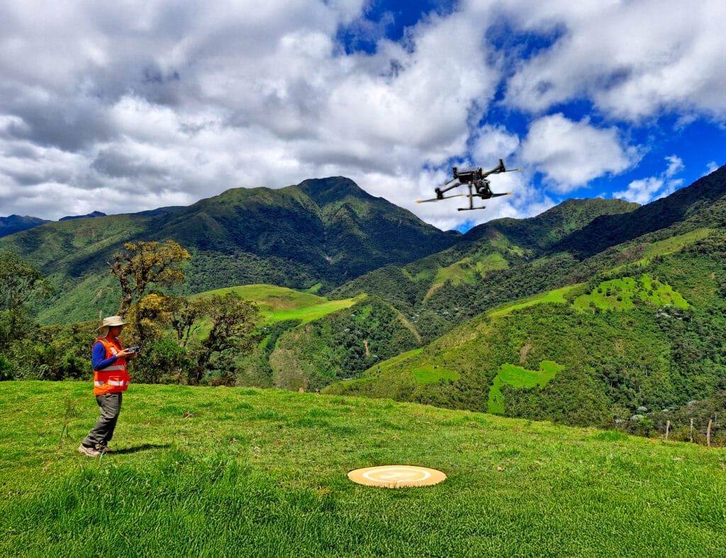
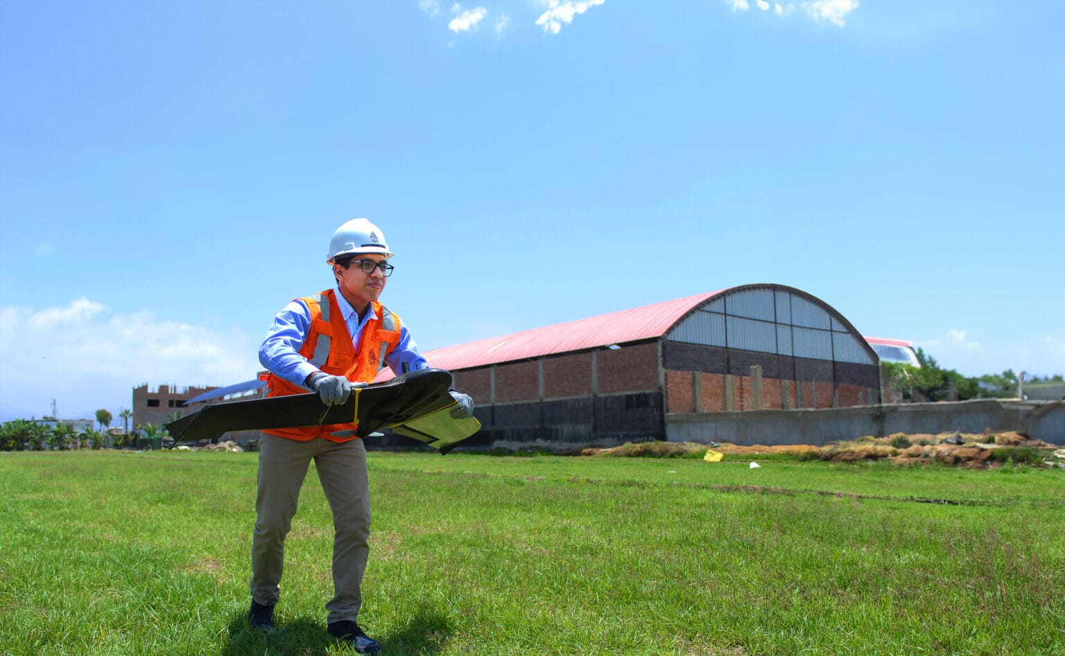
Aerial LiDAR and photogrammetry in the field

Frequently asked questions
When is aerial LiDAR the right choice, and when is photogrammetry?
Drone photogrammetry is the right choice in open areas, when besides the topography you need a detailed image of the terrain and the infrastructure. LiDAR is the right choice where there is vegetation or the natural ground beneath it is needed. If you are not sure, tell us the purpose of the survey and we will recommend the method.
What is an orthophoto and what is it used for?
It is an aerial image corrected so that it has a uniform scale. On it you can measure distances and areas, and locate every structure in the project's coordinate system. It is the basis for inventorying infrastructure and laying out new roads and pads.
How do you control the quality of the aerial survey?
With a GNSS base, checkpoints measured on the ground and validation before delivery. We report the results of those controls in the quality control report.
What do you need to quote?
Location and approximate area in hectares, the operation's flight restrictions, the project's coordinate system and the delivery deadline. Write to comercial@grupots.com or call +51 967 421 477.
An expansion is designed on today's terrain. At T&S Ingeniería we measure it from the air, with LiDAR or photogrammetry, and validate it on the ground.
Request a quote